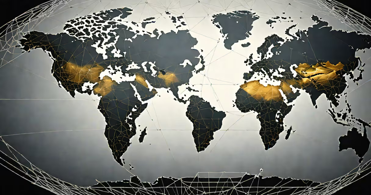
Longitude measures your position east or west of the Prime Meridian, which runs through Greenwich, England. It is expressed in degrees from 0° to 180° east or west. Knowing your longitude pinpoints your location along Earth's east-west axis.
Longitude is part of the geographic coordinate system used to define any spot on Earth's surface. It works alongside latitude, which measures north-south position. Together, they form a precise grid. For example, if you're at 34.05° N, 118.25° W, you're in Los Angeles, California. The longitude value (118.25° W) tells you how far west you are from the Prime Meridian.
Modern devices calculate longitude automatically using satellite signals. GPS receivers detect signals from at least four satellites to determine your exact location. This process uses time differences between signal arrivals to compute distance, then triangulates your position. A smartphone or handheld GPS unit can provide your longitude accurate to within 3 meters under clear sky conditions.
Longitude lines run from the North Pole to the South Pole, converging at the poles. Unlike latitude, which has a natural starting point at the equator, longitude's origin is arbitrary. It was set in 1884 at the International Meridian Conference, where 22 nations agreed to place the Prime Meridian at Greenwich, UK.
Each degree of longitude covers approximately 111 kilometers at the equator, but this distance shrinks toward the poles due to the convergence of meridians. At 60° latitude, one degree of longitude spans only about 55.5 kilometers. This variation matters in navigation and mapping accuracy.
Time zones are loosely based on longitude. Each 15° of longitude roughly corresponds to one hour of time difference. For example, 15° W is one hour behind Greenwich Mean Time (GMT). However, political boundaries often override strict longitude-based time zones. Japan, for instance, uses UTC+9 despite being located between 129° and 145° E longitude.
Smartphones and tablets use GPS and Wi-Fi positioning to show your current longitude. Open the Maps app on an iPhone or Android device, tap your location pin, and scroll down to see the coordinates. On Google Maps, click the blue dot and select "Share" to copy the exact longitude.
For outdoor activities, handheld GPS units like Garmin eTrex or Magellan GPSMAP models display longitude in real time. They work without cellular service, making them ideal for hiking, boating, or off-grid travel. Some models support waypoints, routes, and track logs to record your movement across longitudes.
Many people confuse longitude with time zones. While related, they are not the same. A time zone boundary may cross multiple longitude lines. For example, the U.S. state of Idaho spans from 111° W to 117° W longitude but follows two time zones: Mountain and Pacific. This shows that political decisions can override geographic precision.
Another misconception is that longitude lines are evenly spaced in appearance on flat maps. On most projections like Mercator, longitude lines appear equally spaced, but this distorts size and distance near the poles. In reality, longitude lines converge at the poles, so the area between 170° W and 180° longitude is smaller than between 0° and 10° W.
A lesser-known fact: the Prime Meridian is not perfectly aligned with 0° longitude on all global datasets. The actual reference point used by GPS systems is the International Reference Meridian, which lies about 100 meters east of the historic Greenwich Meridian. This shift results from updated geodetic measurements and satellite data, not error.
Suppose you're standing in downtown Chicago. Open your phone's Maps app, enable location services, and wait for the blue dot to stabilize. Tap the dot, then select "Share." Copy the link and paste it into a browser. The URL contains the coordinates: https://maps.google.com/?q=41.8781°N,87.6298°W.
The longitude here is 87.6298° W. To verify this manually, use a web tool like the National Oceanic and Atmospheric Administration's (NOAA) online Coordinate Converter. Input the latitude and longitude, and the tool confirms the location as "Chicago, IL, USA."
This level of accuracy is sufficient for everyday navigation. For surveying or scientific work, differential GPS systems can achieve sub-meter precision by correcting satellite signal errors using ground stations.
| Method | Accuracy | Required Tools | Best For |
|---|---|---|---|
| Smartphone GPS | ±3 meters | Phone with GPS and internet | Daily navigation, walking directions |
| Handheld GPS unit | ±1 meter (with WAAS) | Garmin or Magellan device | Hiking, boating, remote fieldwork |
| Online map tools | ±10 meters | Web browser, location permission | Quick checks, sharing locations |
| Survey-grade GPS | ±1 cm (post-processed) | RTK system, base station | Engineering, land surveying |
I once used a handheld GPS while backpacking in the Sierra Nevada. After a storm knocked out cell service, I relied solely on my device to confirm I was still on trail. It displayed my longitude as 119.423° W-exactly matching the trail map's coordinates. Without that data, I could have veered off course.
Longitude is not just a number-it's a direct link to Earth's spatial structure. tracking wildlife migration, knowing your longitude provides context, safety, and precision. Always verify your location using multiple sources when accuracy matters.