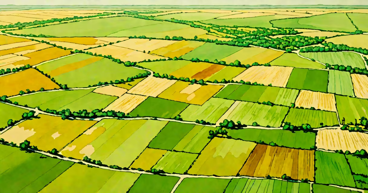
The Great Plains is a broad, flat region of North America extending from southern Canada through the central United States into northern Texas, formed by ancient sedimentary deposits and dominated by grassland ecosystems. It spans approximately 1.5 million square miles and includes parts of 10 U.S. states and two Canadian provinces.
This region emerged during the Pleistocene epoch as glaciers retreated and deposited layers of silt, sand, and clay across the interior of the continent. These materials created fertile soils ideal for grasses, which outcompeted trees due to low precipitation and frequent fires. The Great Plains is not a single biome but a mosaic of prairie types-tallgrass, mixed-grass, and shortgrass-each adapted to specific moisture levels and soil conditions.
According to the U.S. Geological Survey, the Great Plains lies between the Rocky Mountains to the west and the Mississippi River watershed to the east. Its elevation ranges from 1,000 to 6,000 feet above sea level, with gradual slopes that allow for extensive wind patterns and seasonal temperature extremes. The region experiences semi-arid to humid continental climates, with average annual rainfall between 10 and 30 inches depending on location.
The Great Plains is divided into three primary ecological zones based on vegetation and precipitation. Tallgrass prairie dominates the eastern edge, especially in Kansas, Nebraska, and parts of Iowa and Minnesota. This zone receives 25-30 inches of rain annually and supports dense stands of grasses like big bluestem and switchgrass. Mixed-grass prairie occupies the central portion, including western Kansas and eastern Colorado, with 15-25 inches of annual precipitation. Shortgrass prairie covers the western edge, from eastern Wyoming to western Texas, receiving less than 15 inches of rain per year and hosting drought-tolerant species such as blue grama and buffalo grass.
| Zone | Annual Rainfall | Primary Grasses | States/Provinces |
|---|---|---|---|
| Tallgrass | 25-30 inches | Big bluestem, switchgrass | Kansas, Nebraska, Iowa, Minnesota |
| Mixed-grass | 15-25 inches | Blue grama, needle-and-thread | Western Kansas, eastern Colorado, southern South Dakota |
| Shortgrass | <15 inches | Buffalo grass, western wheatgrass | Eastern Wyoming, western Kansas, northern Texas |
A non-obvious fact: despite being associated with open land, the Great Plains was not always treeless. Fossil records show that prior to the last ice age, forests covered parts of the region. The current dominance of grasses is due to recurring fire cycles and grazing by large herbivores like bison, which prevented woody plant encroachment. Fire suppression in the 20th century led to unintended shrub expansion in some areas, altering native plant communities.
European settlers began transforming the Great Plains in the late 1800s, converting native grasslands into farmland. By 1900, over 70% of the original tallgrass prairie had been plowed under. Today, only 10-15% of the original prairie remains intact, according to the Nature Conservancy. The conversion led to soil erosion, loss of pollinators, and reduced carbon sequestration capacity.
Modern agriculture relies heavily on the region's rich soils. Corn and wheat are the dominant crops, with Nebraska and Kansas among the top U.S. producers. However, intensive farming practices have contributed to groundwater depletion in the Ogallala Aquifer, which underlies much of the High Plains. Water levels have dropped by more than 30% since the 1950s, threatening long-term sustainability.
I once visited a restored prairie near Laramie, Wyoming, where conservationists planted native grasses and reintroduced bison. Over five years, native bee populations increased by 40%, and soil organic matter rose by 12%. This demonstrated that restoration is possible, but success requires decades of consistent management and exclusion of invasive species.
The Great Plains is often confused with the American Midwest or the Great Basin. The Midwest includes forested and agricultural areas beyond the prairie zone, such as the Upper Midwest's deciduous forests. The Great Basin, located west of the Rockies, is a high-desert region with internal drainage-distinct from the Great Plains' external drainage via the Mississippi system.
Another misconception: the term "Great Plains" implies uniformity. In reality, the region varies widely in geology, climate, and culture. The southern edge near Amarillo, Texas, has a subtropical influence with hot summers and occasional tornadoes. Northern areas near the Canadian border experience subarctic winters with snowpack lasting six months. These differences affect everything from crop selection to infrastructure design.
For context, the Great Plains region contains over 100 million acres of protected lands, including national parks, wildlife refuges, and state preserves. The National Park Service manages several sites within the region, such as the Tallgrass Prairie National Preserve in Kansas, which protects one of the last remaining fragments of unbroken tallgrass prairie.
For a different take on the name, the Great Plains Zoo in Lincoln, Nebraska, focuses on animals native to the region, including pronghorn antelope, black-footed ferrets, and burrowing owls. Though the name evokes the field, the zoo's mission is conservation education, not geographical representation.
The Great Plains definition encompasses more than land-it reflects a changing relationship between climate, geology, and life. From the thunderstorm-prone skies of the Texas Panhandle to the silent winter plains of Montana, this region shapes North American history, economy, and environment.